
Above: The calendar says it’s the first day of spring – but the forecast for tomorrow denies it. (photo from National Weather Service website)
Earlier this afternoon, I drafted a post about National Weather Services’ storm prediction for tomorrow in Southborough. I held off, because the maps were posted this morning, and I expected an update to come through this afternoon. It did – and it’s quite a shift.
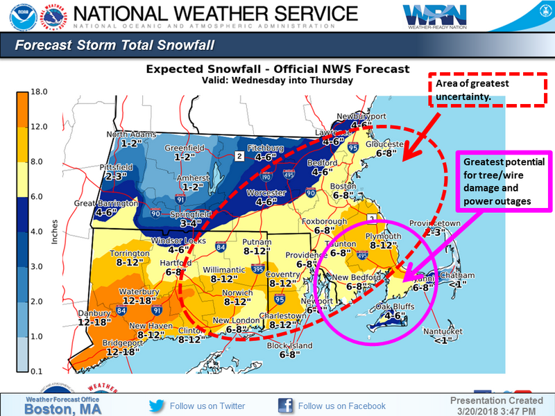
The prediction is now along the lines of 5″ with wind gusts over 30 mph.
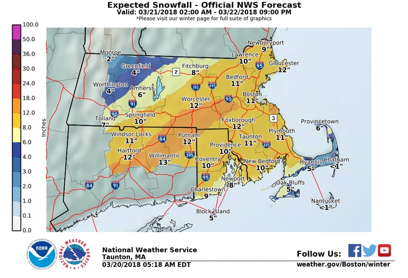
That’s more than a flurry, but a whole lot less than earlier predictions of 12-14″ for most of our town. (You can see the earlier map here.)
But when I dig into NWS’ more detailed maps and charts on probabilities, the predictions get confusing and seemingly contradictory. That’s likely because, we are in a large zone they are now defining as greatest uncertainty. There is still a decent % chance of snowfalls higher than 6″. (There’s even a more than 30% chance of over 8″.)
The onset of snow has also shifted. It’s now around 3:00 pm on Wednesday. Snow is projected to start falling before noon on Wednesday.
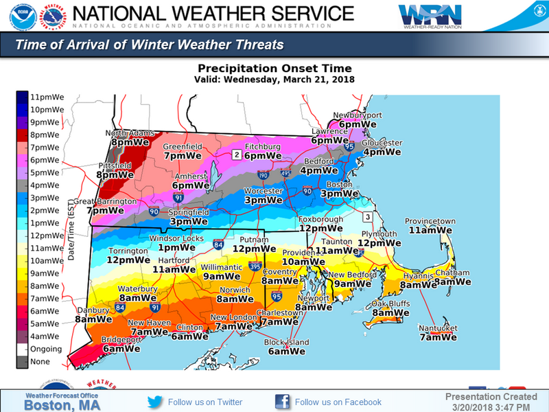 It’s likely to be bad during tomorrow’s evening commute – so I’d be prepared to leave work early. (For more info on the onset across the state, click thumbnail right.) On Thursday morning, snow should begin letting up, hopefully ending around 8:00 am.
So far, no news on how this will impact school. You can be sure that the powers that be are keeping a close eye on the weather. They may need to make an unpopular call if the forecast gets too dicey. If they do, I’ll be sure to share it.
If you’re looking for more up to date info from NWS on our town, click here.
